CURRENCY
$50.00
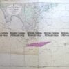
Navigation Chart of Victoria coast
Lithograph
Condition A
There are no reviews yet.
You must be logged in to post a comment.
Antique Map 3-303 Victoria – Moe area c.1940
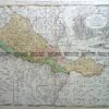
Antique Map 236-034 Geological map of Melbourne c.1860
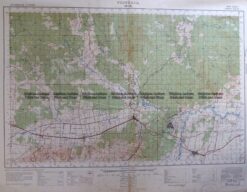
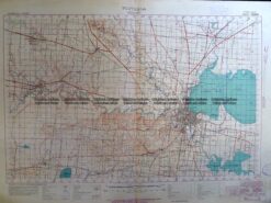
Antique Map 3-306 Victoria – Geelong region military map c. 1955
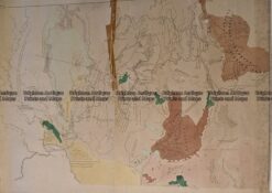
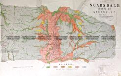
Antique Map 236-019 Geological map of Scarsdale in Victoria c.1889


Reviews
There are no reviews yet.