CURRENCY
$100.00
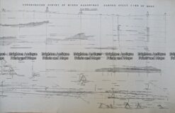
Navigation Chart of Victoria coast c.1973
Lithograph
Condition B+
There are no reviews yet.
You must be logged in to post a comment.
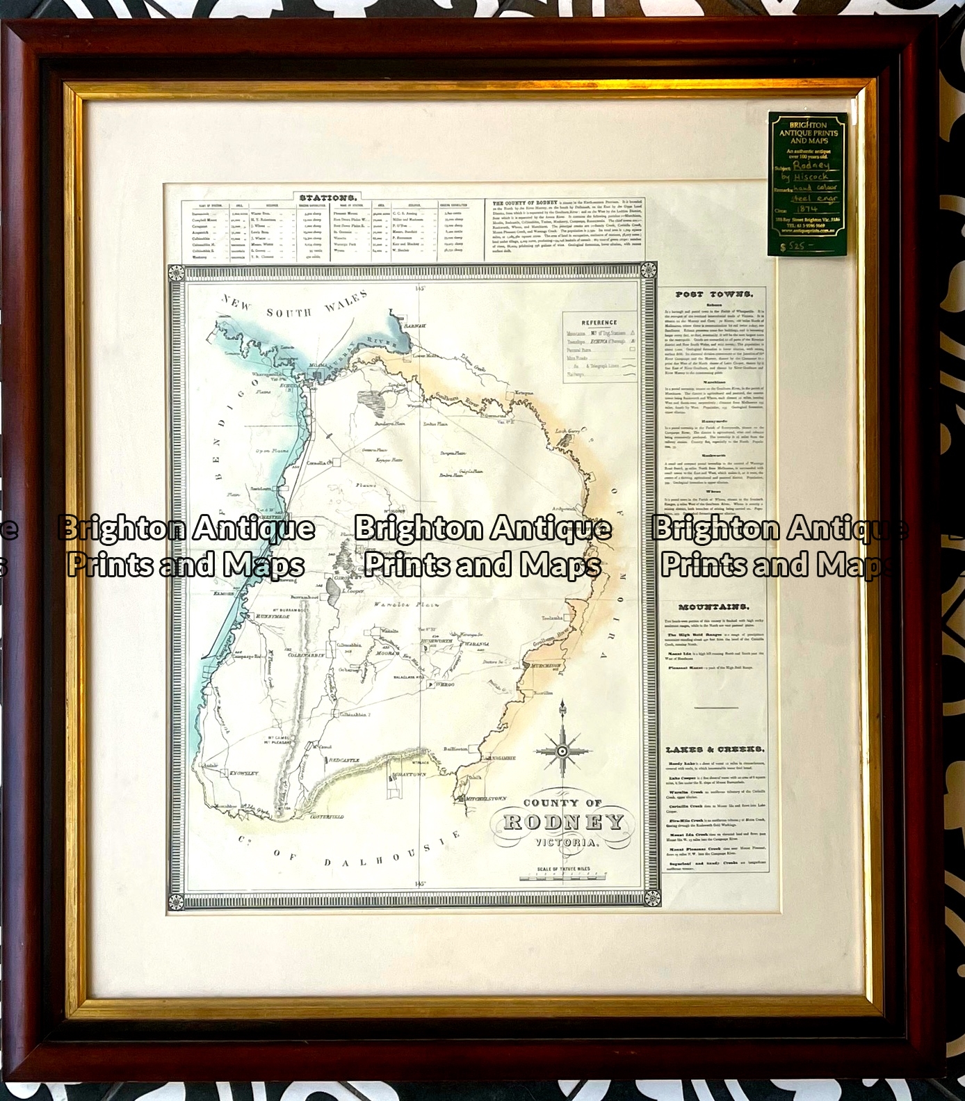
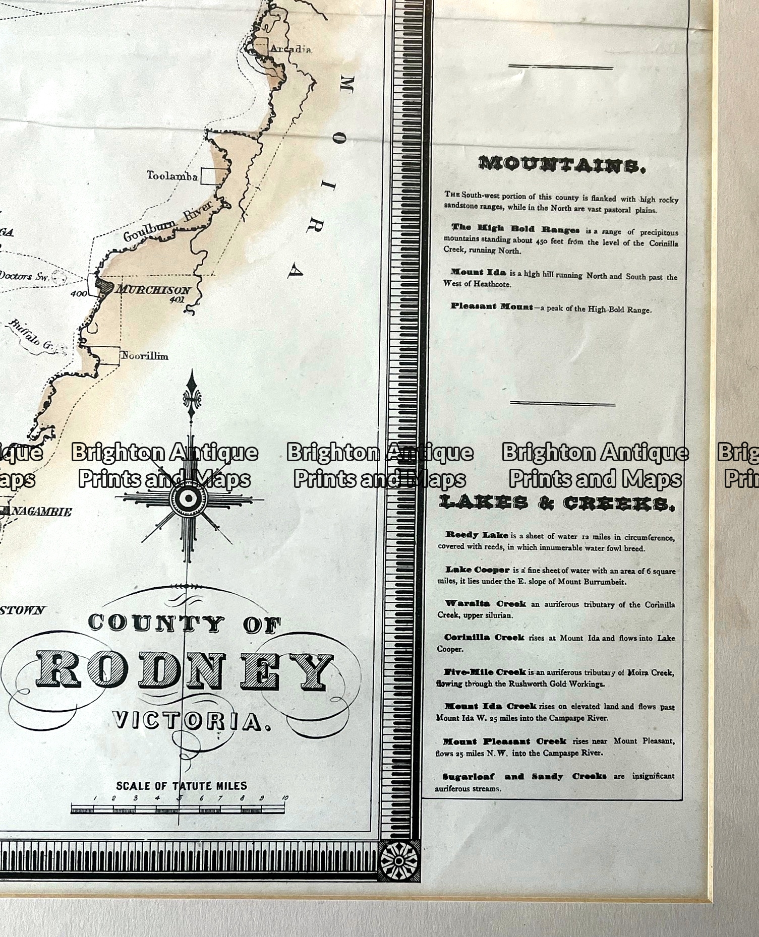
Antique map – County of Rodney by Hiscock c.1874 Ref: 789-016
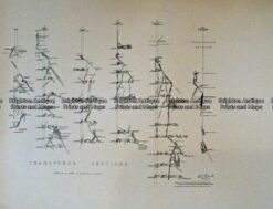
Antique Print Antique Map 233-237 Gold Mines in Victoria – Ballarat and Bendigo c.1880’s
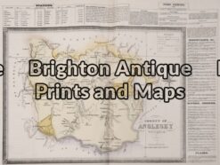
Antique Map 14-230 – County of Anglesey Hiscock – circa 1874 Hand coloured lithograph 51cm X 39cm Condition A+
Antique Print Antique Map 233-234 Gold Mines in Victoria – Ballarat and Bendigo c.1880’s


Reviews
There are no reviews yet.