CURRENCY
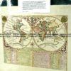
W.W.II map of the Pacific printed by Daily Express c.1840’s
102cm X 76cm Condition A+
There are no reviews yet.
You must be logged in to post a comment.
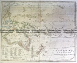
Antique Map 230-540 Australian oder Oceanien by Koehler c.1849
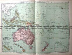
Antique Map 233-025 Oceania by Rand McNally c.1894
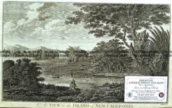
Antique Print Antique Map 232-446 New Caledonia – Cook’s voyage c.1777
Antique Map 3-009 – Australia – Oceania Picturesque Atlas – circa 1886 Chromolithograph 61cm X 37cm Condition A+


Reviews
There are no reviews yet.