CURRENCY
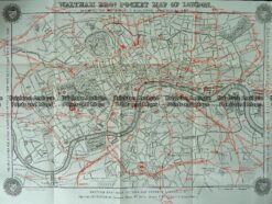
Central London by Gordon & Gotch c.1889
Lithograph 56cm X 40cm Condition A+
There are no reviews yet.
You must be logged in to post a comment.
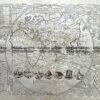
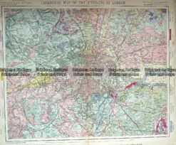
Antique Map 233-362 Geological map of Environs of London by Letts c.1880
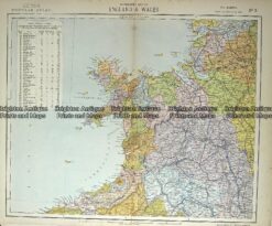
Antique Map 233-364 Wales – northern by Letts c.1880
Antique map – London street map by Harmsworth c.1920 Ref# 232-914
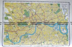
Antique Map 230-209 Railway map of London c.1880


Reviews
There are no reviews yet.