CURRENCY
$190.00
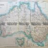
Western Australia by Edward Stanford c.1880
Chromolithograph 51cm X 62cm Condition A+
There are no reviews yet.
You must be logged in to post a comment.
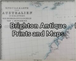
Antique Map 15-100 – Western Australia – Kimberley District A Petermann – circa 1875 Hand coloured steel engraving 39cm X 32cm Condition A+
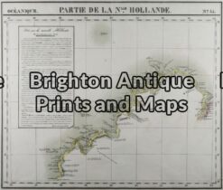
Antique Map 11-085 – Northern Territory Vandermaelen – circa 1827 Steel engraving 55cm X 47cm Condition A+
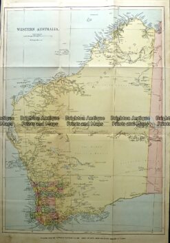
Antique Map 232-114 Western Australia c.1889
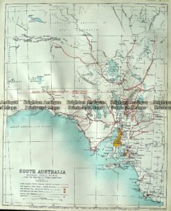
Antique map – South Australia showing public works c.1894 Ref# 232-884


Reviews
There are no reviews yet.