CURRENCY
$60.00
Bourbon and Mauritius in 1810, published c.1910
Chromolithograph 40cm X 25cm Condition A
There are no reviews yet.
You must be logged in to post a comment.
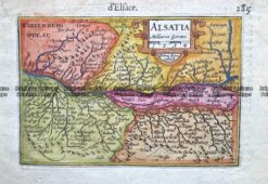
Antique Map 232-164 Alsatia (north east France) c.1609
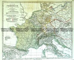
Antique Map 233-404 Frankreich unter Napoleon
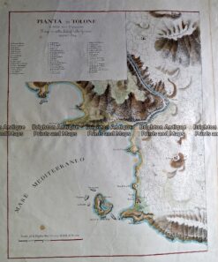
Antique Map 232-135 Pianta di Tolone c.1824
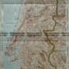
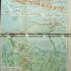
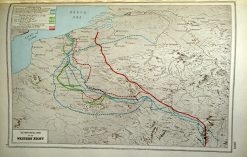
Antique map – Western Front c.1920. Ref: 232-706


Reviews
There are no reviews yet.