CURRENCY
Hand coloured lithograph 52cm X 38cm Condition A+
$425.00
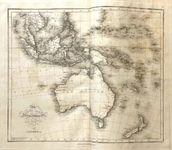
Antique map – Australia & S.E. Asia Ref: 339-014
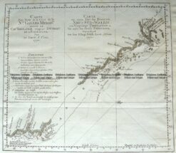
Antique Map 3-001 – Australia – Carte dune Partie de la Cote de la N le. Galles East coast of Australia from Cooks 1st voyage Bernard – circa 1774 Copperplate engraving 34cm X 29cm Condition A+
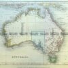
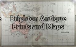
Antique Map 3-009 – Australia – Oceania Picturesque Atlas – circa 1886 Chromolithograph 61cm X 37cm Condition A+
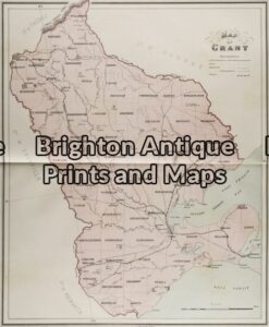
Antique Map 3-215 – Victoria – County of Grant John Sands – circa 1886 Chromolithograph 43cm X 53cm Condition A+