CURRENCY
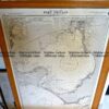
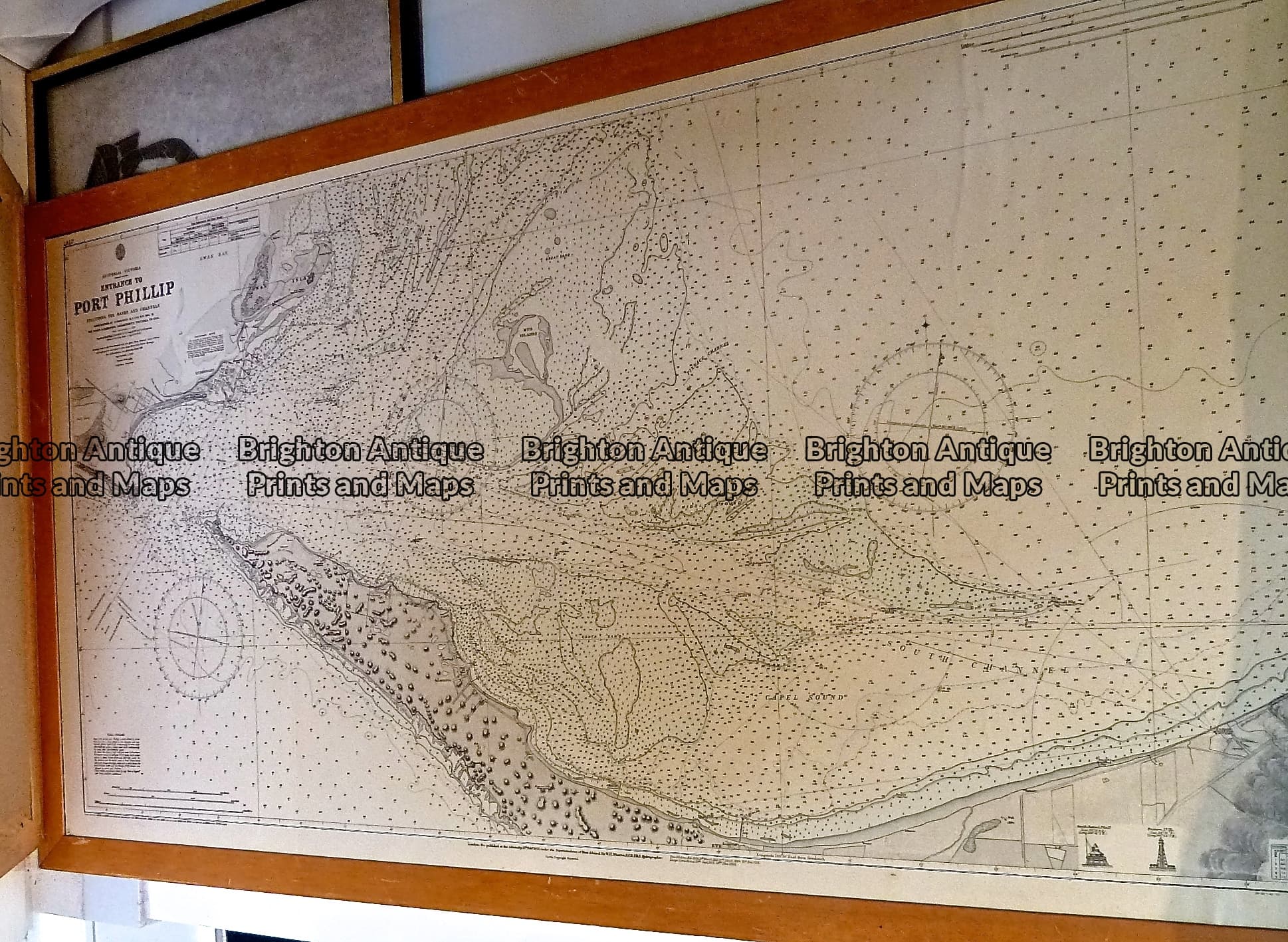
Mornington Peninsula Navigation Chart corrected to 1960’s
Lithograph 120cm X 90cm Condition A
Framed
There are no reviews yet.
You must be logged in to post a comment.
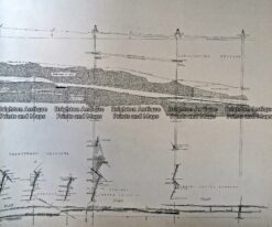
Antique Map 236-044 Gold mining – cross-sections of mines in Sandhurst (Bendigo)
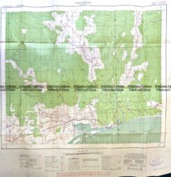
Antique Map 9-833 Bairnsdale -Military Map c.1942
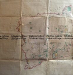
Antique Map 233-451 Victoria – County of Hampden by Bailliere c.1866
Antique Print Antique Map 233-233 Gold Mines in Victoria – Ballarat and Bendigo c.1880’s



Reviews
There are no reviews yet.