CURRENCY
$75.00
Map of the Grampian Ranges by Dept of Lands and Survey c.1971
49cm X 68 Condition A
There are no reviews yet.
You must be logged in to post a comment.
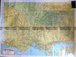
Antique Map – Road Map of Victoria by Robinson c.1930’s Ref No. 238-004
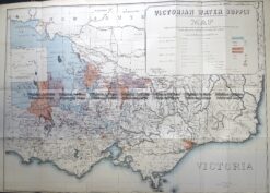
Antique Map 3-823 Victoria Water Supply c.1890
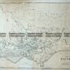
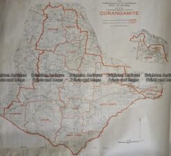
Antique Map 233–242 Corangamite – Commonwealth Electoral Division
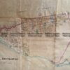
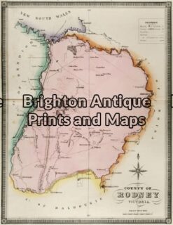
Antique Map 14-220 – Victoria – County of Rodney F E Hiscock – circa 1874 Hand coloured lithograph 42cm X 49cm Condition A+


Reviews
There are no reviews yet.