CURRENCY
Victoria – Western coastline
Vandermaelen – circa 1827 Hand coloured engraving 57cm X 48cm Condition A+
SOLD
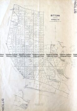
Antique Map 3-828 Victoria – Bittern in County of Mornington c.1950
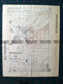
Antique Map 230-507 Woornyalook parish map c. 1940
Antique Map 14-216 – Victoria – Port Phillip and vicinity John Sands – circa 1886 Chromolithograph 52cm X 42cm Condition A+
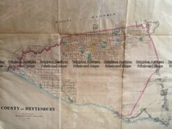
Antique Map 233-455 Victoria – County of Heytesbury by Bailliere c.1866