CURRENCY
Victoria & Bass Strait
Vandermaelen – circa 1827 Hand coloured steel engraving 56cm X 47cm Condition A+
SOLD
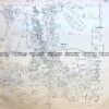
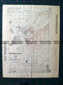
Antique Map 230-507 Woornyalook parish map c. 1940
Antique Map 3-830 Doutta Galla in County of Bourke c.1969
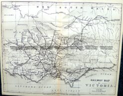
Antique Map 9-812 Victoria – Railway Map c.1896
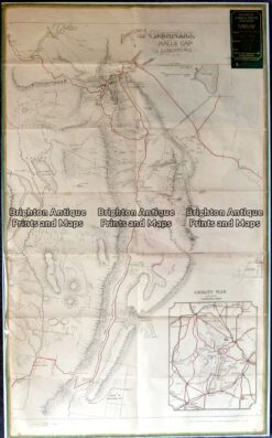
Antique map – Grampians Tourist Map c.1933 Ref: 889-022