Brighton Antique Prints and Maps
Currency
WOOCS 2.1.5
VIEW CART
  • CURRENCY

    WOOCS 2.1.5
  • Home
  • Catalogue
    • Antique Maps
    • Antique Prints
    • Books & Gov’t Reports
    • Manuscript Documents
  • Recent Arrivals
  • About
  • FAQ
  • Register Interests
  • Contact Us
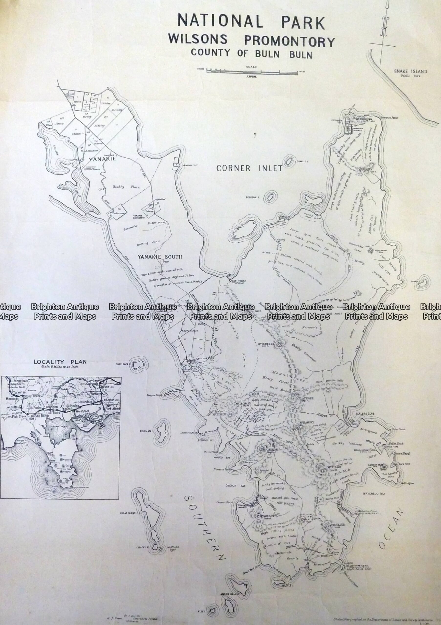
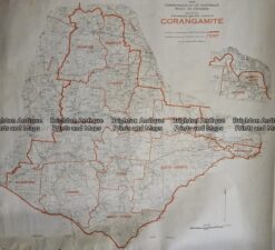
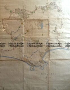
3-331  Wilson’s Promontory National Park  c.1930

Home/Antique Maps/Australia & Pacific/Victoria

Antique Map 3-331 Wilson’s Promontory National Park c.1930

SKU: 3-331 Categories: Antique Maps, Victoria
5-058 - France S Hall - circa 1860 Steel engraving 38cm X 26cm Condition A+
14-210 - Victoria - Portland district Admiralty Chart - circa 1835 Steel engraving 46cm X 63cm Condition A+
  • Description

Wilson&’;s Promontory National Park &;c.1930

Lithograph
40cm X 55cm
Condition A

SOLD


These may also be of interest

  • Victoria

    Antique Map – Road Map of Victoria by Robinson c.1930’s Ref No. 238-004

    $79.00
  • 9-813  Victoria Railway Map  c.1883
    Antique Maps

    Antique Map 9-813 Victoria Railway Map c.1883

    $150.00
  • 3-824  Victoria - County of Anglesey  c.1958
    Antique Maps

    Antique Map 3-824 Victoria – County of Anglesey c.1958

    $75.00
  • 14-230 - County of Anglesey Hiscock  - circa 1874 Hand coloured lithograph 51cm X 39cm Condition A+
    Antique Maps

    Antique Map 14-230 – County of Anglesey Hiscock – circa 1874 Hand coloured lithograph 51cm X 39cm Condition A+

    $590.00
© 2026 BRIGHTON ANTIQUE PRINTS AND MAPS. ALL RIGHTS RESERVED | Website by Blaze Online
Credit Card
Norton Safe Web Transaction
  • Home
  • Catalogue
    • Antique Maps
    • Antique Prints
    • Books & Gov’t Reports
    • Manuscript Documents
  • Recent Arrivals
  • About
  • FAQ
  • Register Interests
  • Contact Us
  • View Cart
  • Login
  • Currency
    WOOCS 2.1.5

Sending...