CURRENCY
SOLD
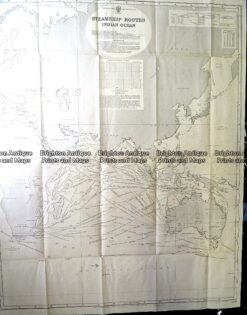
Antique Print Antique Map 230-602 Australia and Asia – Indian Ocean shipping routes c.1950
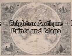
Antique Map 16-246 -Eastern Hemisphere – – John Tallis – circa 1851 – Outline colour steel engraving – 32cm X 25cm – Condition A+ –
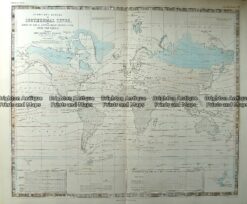
Antique Map 232-572 World – Isothermal Lines by Johnston c.1850
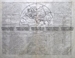
Antique Map 232-152 Eastern Hemisphere by Chatelain c.1719