

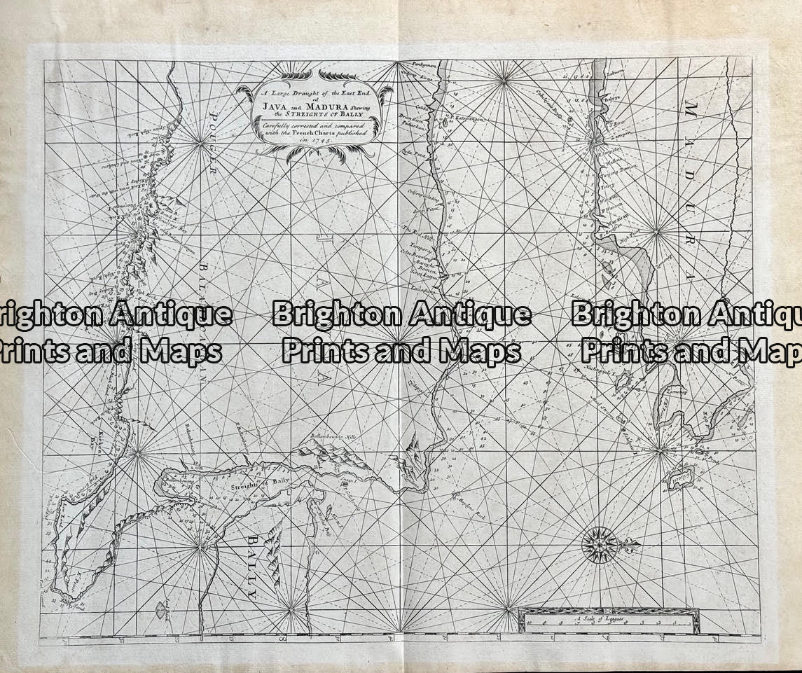
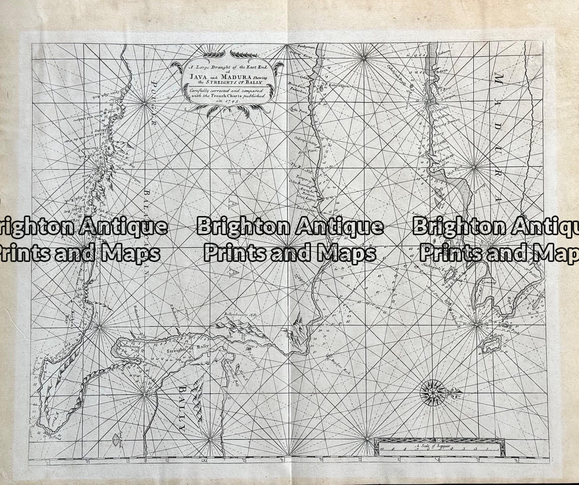
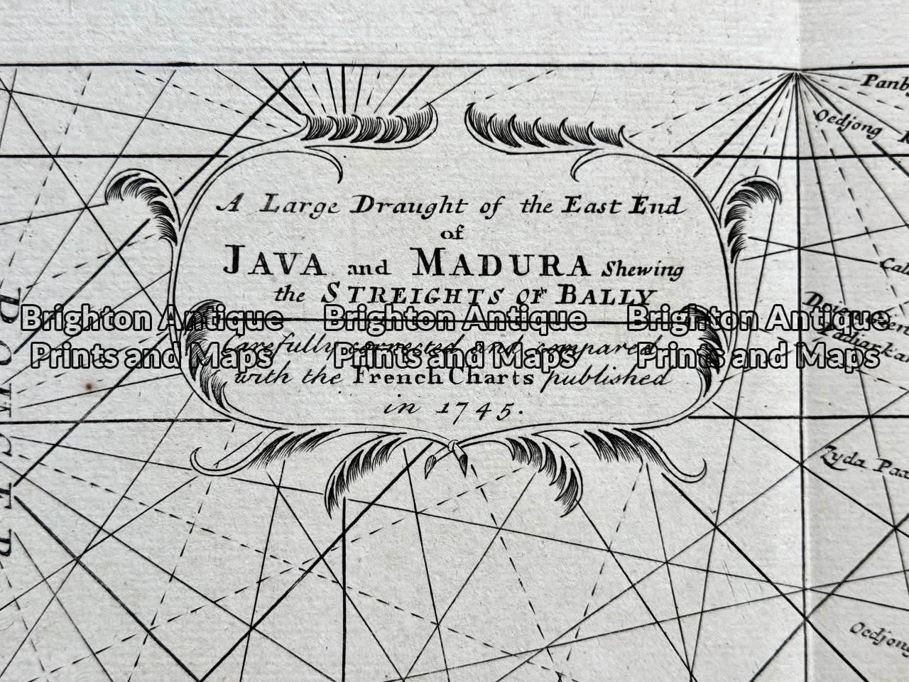
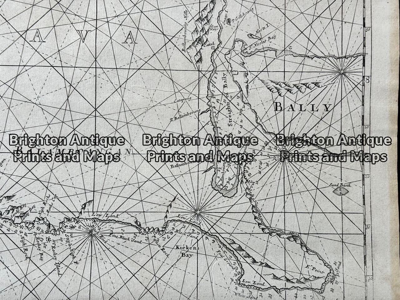
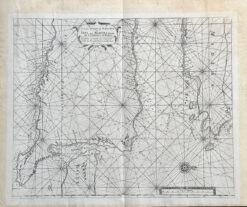
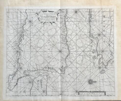
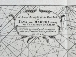
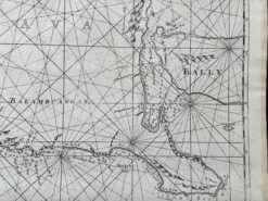
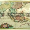
A large draught of the East End of Java and Madura c.1745
from the important nautical atlas “The English Pilot” by Samuel Thornton produced for the English East India Company. The chart is based on the Dutch VOC’s manuscript charts of the region. Pristine condition measuring appox 52cm X 43cm
Be the first to review “Antique map of Java, Bali and Madura c.1745 Ref: 888-001”
You must be logged in to post a review.

Reviews
There are no reviews yet.