CURRENCY
$85.00
Military map of Melbourne & Vicinity c.1931
Lithograph 72cm X 45cm Condition A
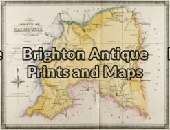
Antique Map 14-221 – Victoria – County of Dalhousie F E Hiscock – circa 1874 Hand coloured lithograph 52cm X 40cm Condition A+
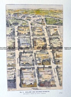
Antique Print Antique Map 29-489 Collins and Bourke Street bird’s eye view c.1906
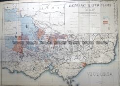
Antique Map 3-823 Victoria Water Supply c.1890
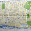
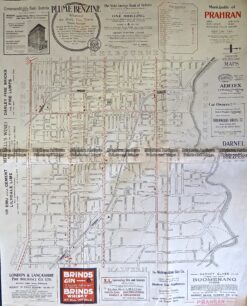
Antique Map 9-161 Melbourne Street Map – Prahran c.1920