CURRENCY
England in Saxon Times by Wilkinson c.1830
Hand coloured steel engraving 22cm X 29cm Condition A+
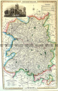
Antique Map 4-191 Shropshire England by I. Slater c.1846
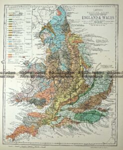
Antique Map 233-365 Geological map of England and Wales by Letts c.1880
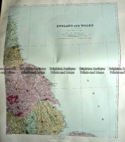
Antique Map 233-291 England – North East by Stanford c.1887
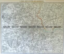
Antique Map 4-177 London and vicinity by S.D.U.K. c.1844