CURRENCY
Pakenham street map in Parish of Pakenham &;c.1948
Lithograph 50cm X 50cm Condition
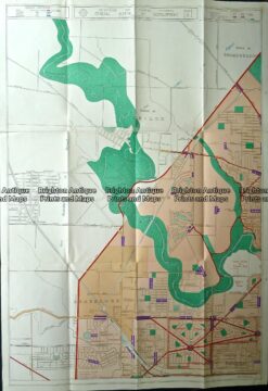
Antique map – Keilor, Braybrook, Footscray c.1929 Ref# 232-881
Antique Map 3-830 Doutta Galla in County of Bourke c.1969
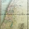
Antique Map Ballan Sunbury Meredith and Western suburbs (folded)
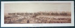
Antique Print Antique Map 1906 Panorama of Melbourne – Reproduction