CURRENCY
$250.00
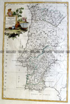
Portugal – Alento and Estrem Adura by A Zatta &;c.1776
Hand coloured copperplate engraving 32cm X 32cm Condition A+
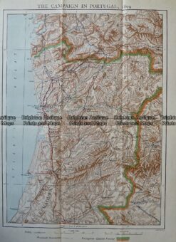
Antique Print Antique Map 236-012 Portugal Military campaign in 1809, published c.1910
Antique Map 5-261 Portugal by Zatta c.1776
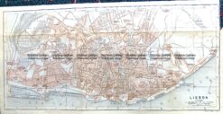
Antique Map 5-182 Lisbon Street Map by Wagner & Debes c.1911
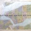
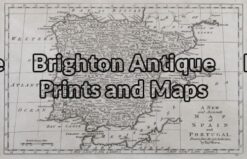
Antique Map 5-041 – Spain and Portugal T Bowen – circa 1790 Copperplate engraving 29cm X 18cm Condition A+