CURRENCY
$290.00
Asia – India (northern)
J Tallis – circa 1851 Steel engraving Condition A+
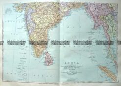
Antique Map 233-322 India and Burma by Stanford c.1887
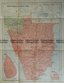
Antique Print Antique Map 236-001 India (Southern India) in 1803, published in 1910
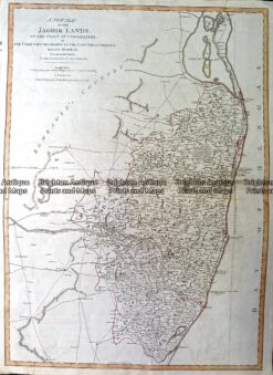
Antique Map 230-150 New Map of the Jaghir Lands by Laurie & Whittle c.1794
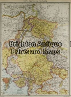
Antique Map 2-134 – Asia – North West India G Philip – circa 1905 Chromolithograph 35cm X 48cm Condition A+