CURRENCY
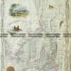
Western Port and Cape Patterson
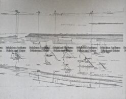
Antique Map 236-044 Gold mining – cross-sections of mines in Sandhurst (Bendigo)
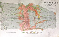
Antique Map 236-019 Geological map of Scarsdale in Victoria c.1889
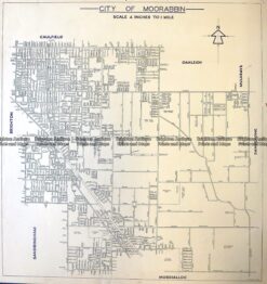
Antique Map 3-831 Moorabbin street map c.1949
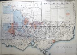
Antique Map 3-823 Victoria Water Supply c.1890