CURRENCY
$490.00
Victoria or Port Phillip
John Tallis – circa 1851 Steel engraving 33cm X 26cm Condition A+
Antique Map 233-451 Victoria – County of Hampden by Bailliere c.1866
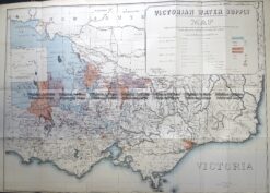
Antique Map 3-823 Victoria Water Supply c.1890
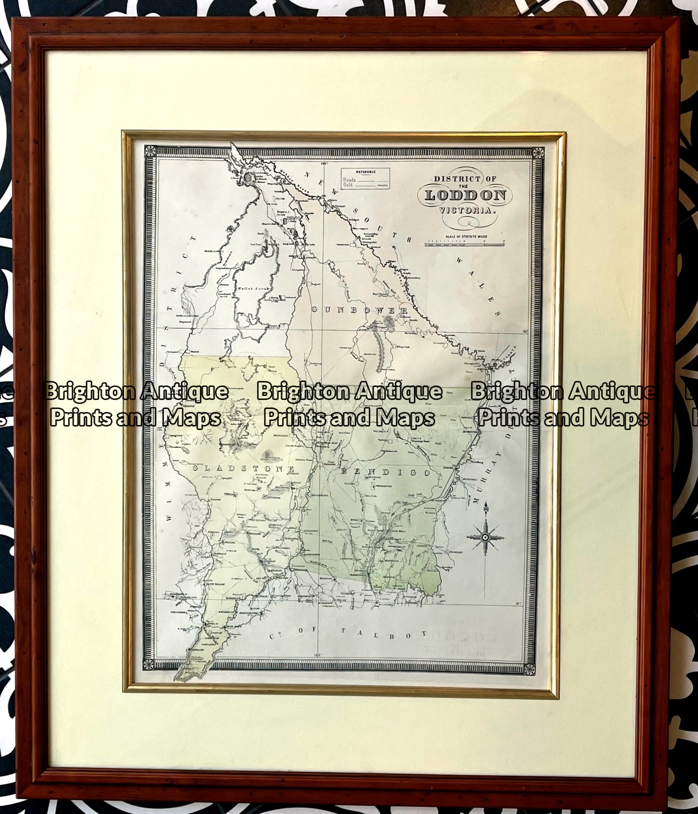
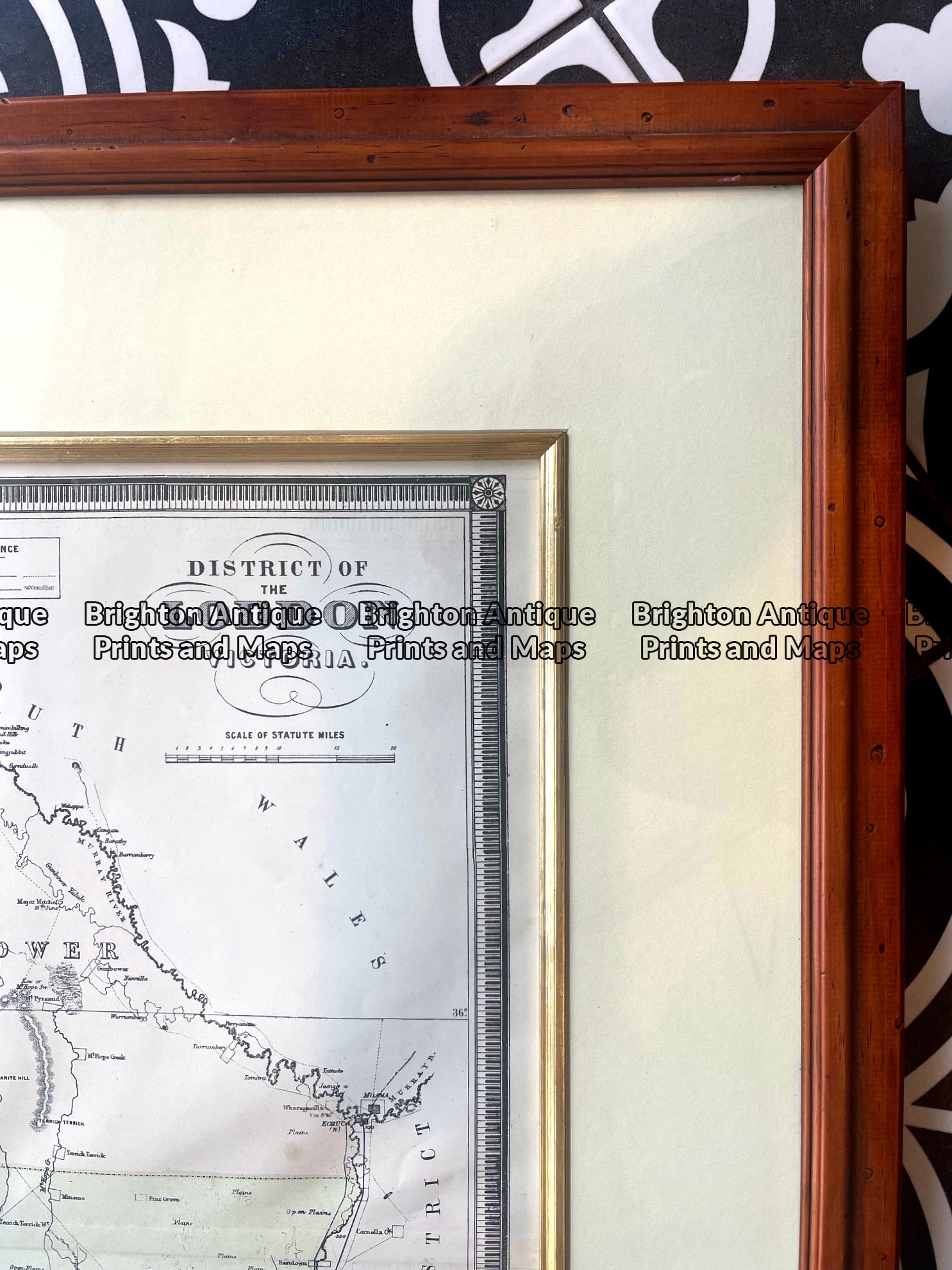
Antique map – Counties in Loddon District of Victoria by Hiscock c.1874. Ref: 789-017
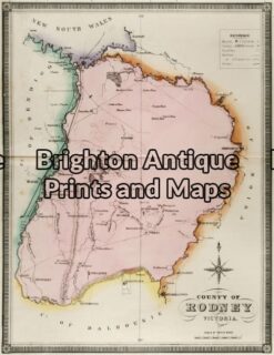
Antique Map 14-220 – Victoria – County of Rodney F E Hiscock – circa 1874 Hand coloured lithograph 42cm X 49cm Condition A+