CURRENCY
$240.00
Victoria – Tanjil
J Sands – circa 1886Chromolithograph53cm X 43cmCondition A+
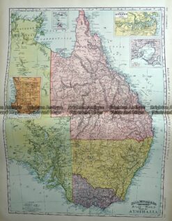
Antique Map 233-225 Australia – Victoria, NSW, Queensland by Rand McNally c.1894
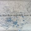
Antique Map 9-833 Bairnsdale -Military Map c.1942
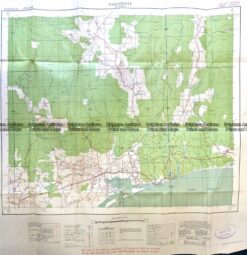
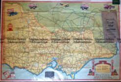
Antique Map – Road Map of Victoria by Vacuum Oil Co. c.1930’s Ref No. 238-005
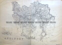
Antique Map 3-824 Victoria – County of Anglesey c.1958