CURRENCY
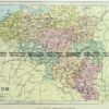
Victoria – Grampians District
Department of Lands & Survey Photo-lithography 43cm X 67cm Condition A+
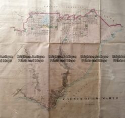
Antique Map 233-453 Victoria – County of Polwarth by Bailliere c.1866
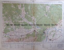
Antique Map 3-303 Victoria – Moe area c.1940
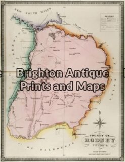
Antique Map 14-220 – Victoria – County of Rodney F E Hiscock – circa 1874 Hand coloured lithograph 42cm X 49cm Condition A+
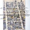
Antique Print Antique Map 233-236 Gold Mines in Victoria – Ballarat and Bendigo c.1880’s