CURRENCY
Port Phillip – Navigation Chart
circa 1969 65cm X 96cm Condition A
&;
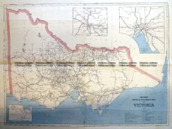
Antique Print Antique Map 3-330 Victoria Railway lines c.1886
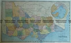
Antique Map – General Map of Victoria c.1886 Ref No. 238-007
Antique Map 14-216 – Victoria – Port Phillip and vicinity John Sands – circa 1886 Chromolithograph 52cm X 42cm Condition A+
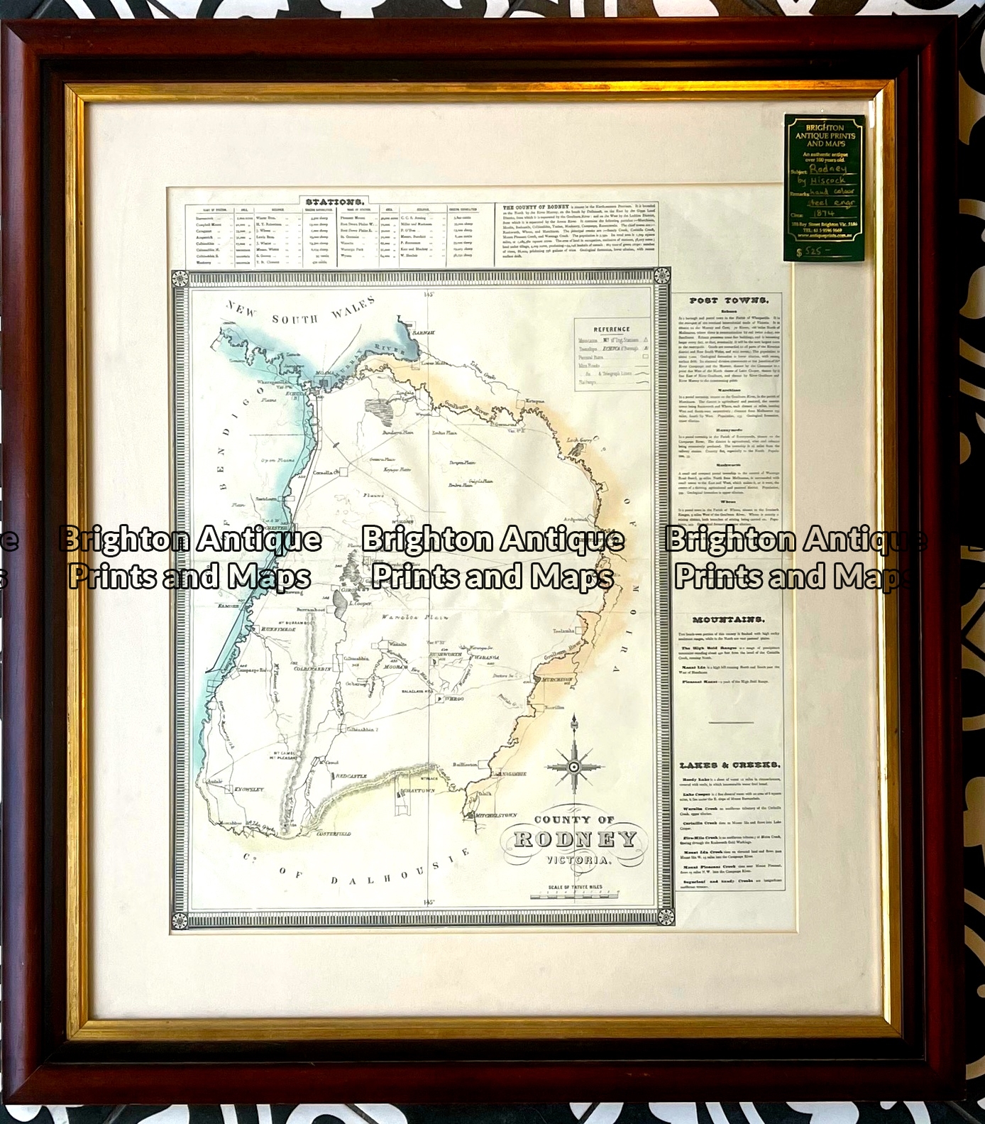
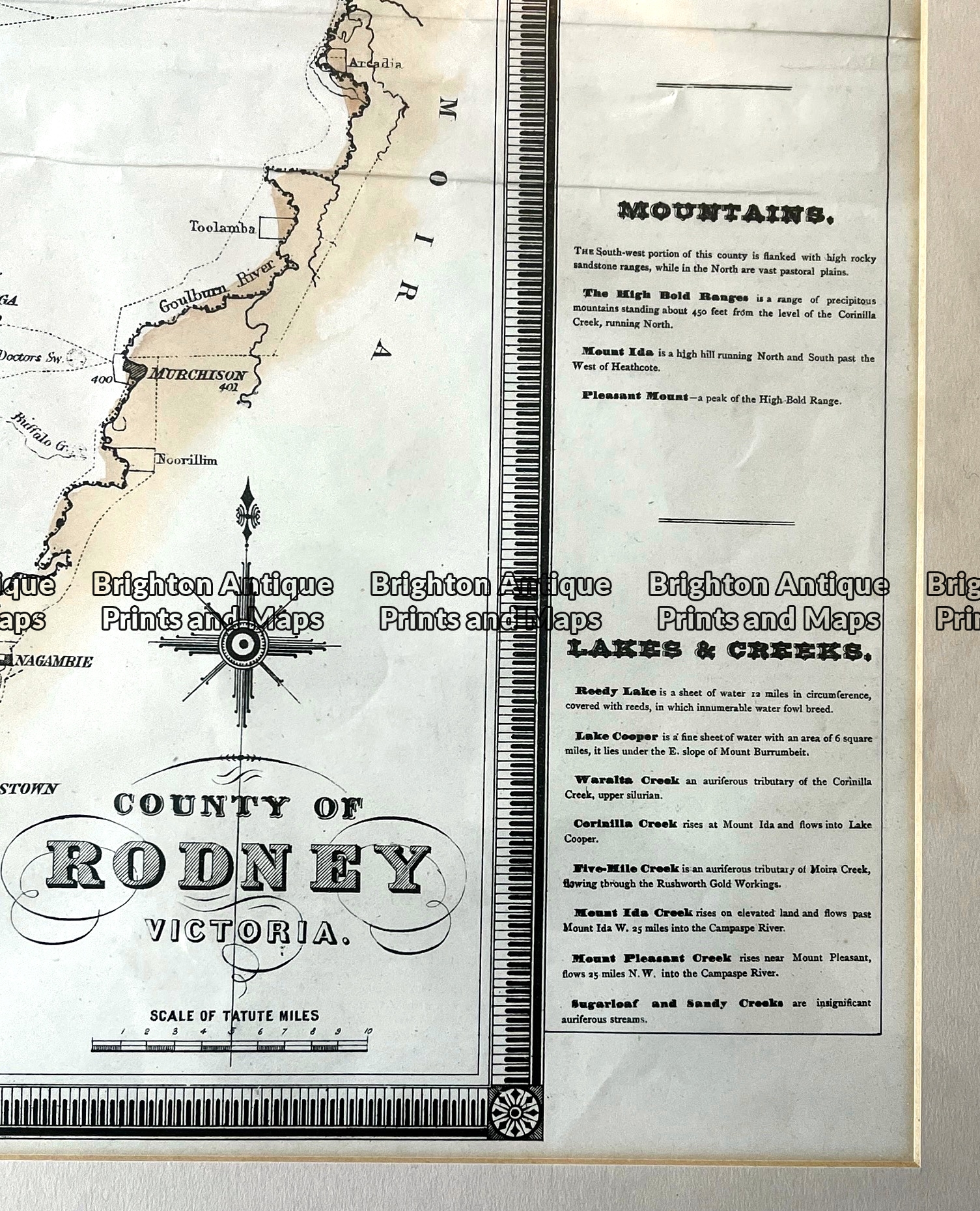
Antique map – County of Rodney by Hiscock c.1874 Ref: 789-016