CURRENCY
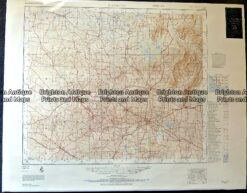
Victoria – Navigation Chart Port Phillip to Gabo Island
Davies & Co – circa 1945 Lithograph 99cm X 67cm Condition A+
&;
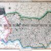
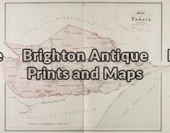
Antique Map 14-217 – Victoria – County of Tanjil John Sands – circa 1886 Chromolithograph 52cm X 42cm Condition A+
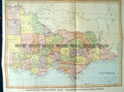
9-138 Victoria by Gordon & Gotch c.1880
Antique map – Hamilton Victoria c.1968 Ref: 889-020
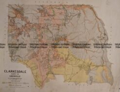
Antique Map 236-233 Geological map of Clarkesdale area in Victoria