CURRENCY
$480.00
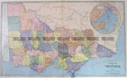
Victoria – Port Phillip and vicinity
John Sands – circa 1886 Chromolithograph 52cm X 42cm Condition A+
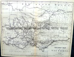
Antique Map 9-812 Victoria – Railway Map c.1896
Antique Map 3-203 – Victoria Picturesque Atlas circ 1886 Chromolithograph 61cm X 37cm Condition A+
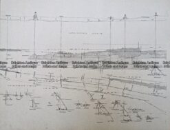
Antique Print Antique Map 233-236 Gold Mines in Victoria – Ballarat and Bendigo c.1880’s
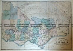
Antique Map – Map of Victoria by Hiscock c.1874 Ref No. 238-003