CURRENCY
Melbourne and Suburbs
SOLD
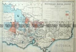
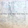
Antique Map – Victorian Water Supply c.1890 Ref No. 238-002
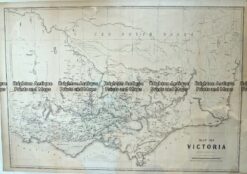
Antique Map – Victoria c.1865 Ref No. 238-001
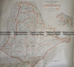
Antique Map 233–242 Corangamite – Commonwealth Electoral Division
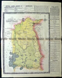
Antique Map 14-229 – County of Grenville Hiscock – circa 1874 Hand coloured lithograph 41cm X 49cm Condition A+

")