CURRENCY
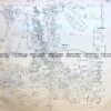
Melbourne and Suburbs
SOLD
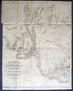
Antique map – Gold fields in South Australia c.1853Ref: 339-009
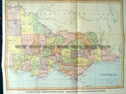
9-138 Victoria by Gordon & Gotch c.1880
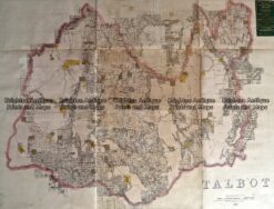
Antique Map 233-454 Victoria – County of Talbot by Bailliere c.1866
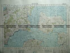
Antique Map 230-226 Military map of Western Port Vic c.1940