CURRENCY
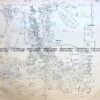
Gold Field – Creswick c. 1880
Hand coloured lithograph 48cm X 60cm Condition A
SOLD
&;
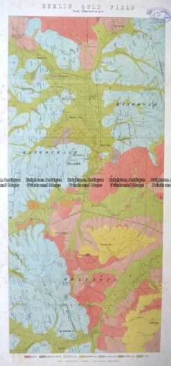
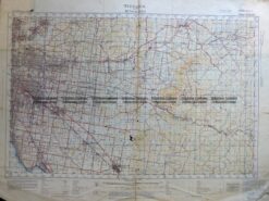
Antique Map 3-814 Victoria – Berlin Gold Field c.1900
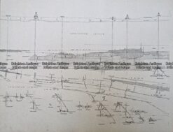
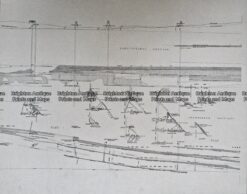
Antique Print Antique Map 233-236 Gold Mines in Victoria – Ballarat and Bendigo c.1880’s
Antique Print Antique Map 233-235 Gold Mines in Victoria – Ballarat and Bendigo c.1880’s
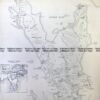
Antique Map 3-304 Victoria – Ringwood area c.1935