CURRENCY
Victoria – showing State Schools &;c.1893
Lithograph 41cm X 30cm Condition A+
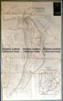
Antique map – Grampians Tourist Map c.1933 Ref: 889-022
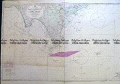
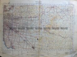
Antique Map 230-101 Navigation Chart – Victoria c.1973
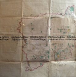
Antique Map 3-304 Victoria – Ringwood area c.1935
Antique Map 233-451 Victoria – County of Hampden by Bailliere c.1866