CURRENCY
Victoria – showing State Schools &;c.1893
Lithograph 41cm X 30cm Condition A+
Antique Print Antique Map 233-233 Gold Mines in Victoria – Ballarat and Bendigo c.1880’s
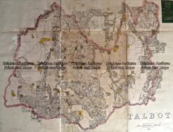
Antique Map 233-454 Victoria – County of Talbot by Bailliere c.1866
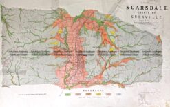
Antique Map 236-019 Geological map of Scarsdale in Victoria c.1889
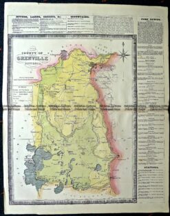
Antique Map 14-229 – County of Grenville Hiscock – circa 1874 Hand coloured lithograph 41cm X 49cm Condition A+