CURRENCY
$220.00
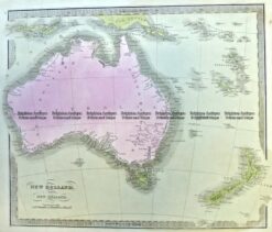
W.A. and Tasmania by S.D.U.K. c.1844
Steel engraving 39cm X 31cm Condition A
Antique Map 3-991 Australia and New Zealand c.1840
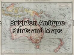
Antique Map 3-003 – Australia: Industries & Communications George Philip – circa 1905 Chromolithograph 48cm X 35cm Condition A+
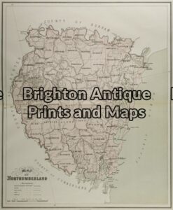
Antique Map 3-067 – New South Wales – County of Northumberland John Sands – circa 1886 Chromolithograph 42cm X 53cm Condition A-
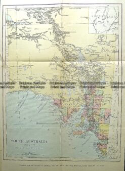
Antique Map 232-089 South Australia c.1889