CURRENCY
Western Australia – South West portion c.1880
Chromolithograph 25cm X 30cm Condition A+
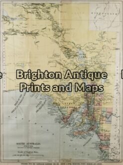
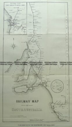
Antique Map 11-080 – South Australia Australian Handbook – circa 1885 Chromolithograph 38cm X 51cm Condition A
Antique Map 15-105 – Western Australia – North West John Sands – circa 1886 Chromolithograph 42cm X 52cm Condition A+
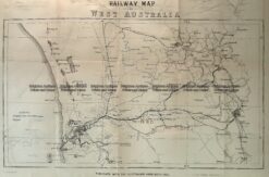
Antique Map 15-109 Western Australia – Railway map c.1886
Antique Map 15-118 South Australia Railway Map c.1885