CURRENCY
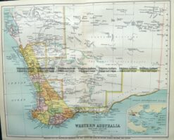
Western Australia – South West portion c.1880
Chromolithograph 25cm X 30cm Condition A+
Antique Map 9-825 WA – South West c.1896
Antique Map 15-100 – Western Australia – Kimberley District A Petermann – circa 1875 Hand coloured steel engraving 39cm X 32cm Condition A+
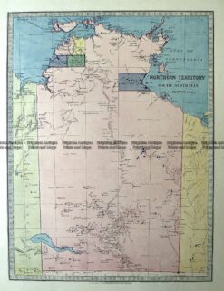
Antique Map 15-120 Northern Territory NT c.1886
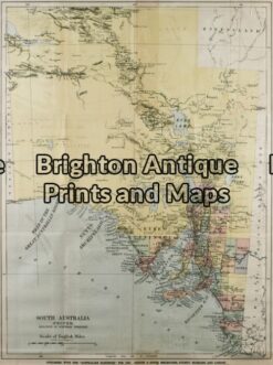
Antique Map 11-080 – South Australia Australian Handbook – circa 1885 Chromolithograph 38cm X 51cm Condition A