CURRENCY
$220.00
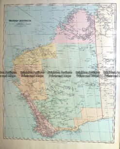
Western Australia – Kimberley Range area &;c.1886&; from John Sands Atlas
Chromolithograph 52cm X 43cm Condition A+
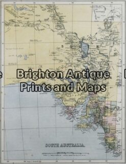
Antique Map 11-079 – South Australia J Sands – circa 1886 Chromolithograph 20cm X 26cm Condition A+
Antique Map 232-267 Western Australia by Stanford c.1880
Antique Map 9-836 South Australia by Gordon & Gotch c.1892
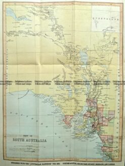
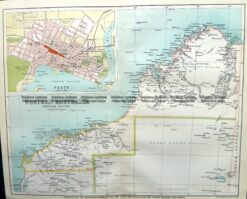
Antique Map 9-824 WA – North West and Perth