CURRENCY
$75.00
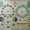
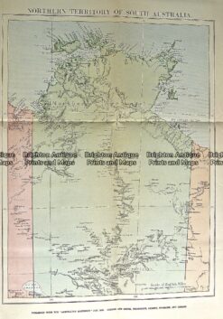
Northern Territory by Gordon & Gotch &;c.1886
Chromolithograph 24cm X 32cm Condition A+
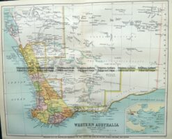
Antique Map 9-825 WA – South West c.1896
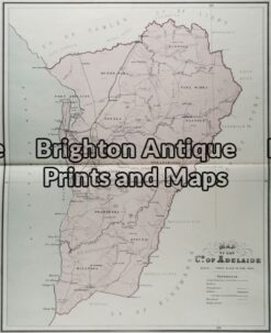
Antique Map 11-078 – South Australia – County of Adelaide J Sands – circa 1886 Chromolithograph 42cm X 52cm Condition A+
Antique Map 15-108 Western Australia – Carnarvon c.1951
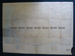
Antique Map 232-113 Northern Territory by Gordon & Gotch c.1889