Skip to content
Brighton Antique Prints and MapsBrighton Antique Prints and Maps
  • CURRENCY

    WOOCS 2.1.5
  • VIEW CART
  • Catalogue
  • Home
  • Catalogue
    • Antique Maps
    • Antique Prints
    • Books & Gov’t Reports
    • Manuscript Documents
  • Recent Arrivals
  • About
  • FAQ
  • Register Interests
  • Contact Us
2-120 - Asia - Japan and Korea J Bellin - circa 1753 Hand coloured copperplate engraving 29cm X 21cm Condition A+
Home / Antique Maps / Asia / China & Japan & Korea
  • 3-210 - Victoria - Portland & Port Fairy area Admiralty Chart - circa 1835 Steel engraving 46cm X 63cm Condition A+

Antique Map 2-120 – Asia – Japan and Korea J Bellin – circa 1753 Hand coloured copperplate engraving 29cm X 21cm Condition A+

  • 3-210 - Victoria - Portland & Port Fairy area Admiralty Chart - circa 1835 Steel engraving 46cm X 63cm Condition A+

SKU: 2-120 Categories: Antique Maps, China & Japan & Korea
  • 3-210 - Victoria - Portland & Port Fairy area Admiralty Chart - circa 1835 Steel engraving 46cm X 63cm Condition A+
Product Categories
  • Antique Maps
    • World
    • Australia & Pacific
    • Britain and Ireland
    • Europe
    • Asia
      • Asia - Continent
      • China & Japan & Korea
      • India & Ceylon
      • South East Asia
      • Middle East & Turkey
      • Holy Land
      • Siberia
      • Other
    • North America
    • South America
    • Africa
    • City Street Maps
    • Geological maps
    • Tallis
  • Antique Prints
  • Books & Gov't Reports
  • Manuscript Documents
  • Description

Asia – Japan and Korea

J Bellin – circa 1753
Hand coloured copperplate engraving
29cm X 21cm
Condition A+

SOLD

These may also be of interest

Placeholder

Antique Map 233-283 Japan – Hokkaido c.1960’s

$40.00
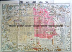
2-143  Kyoto street map c.1900

Antique Map 2-143 Kyoto street map c.1900

$400.00
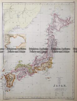
Antique map - Japan by Black & Son  c.1882   Ref: 415-010

Antique map – Japan by Black & Son c.1882 Ref: 415-010

$110.00
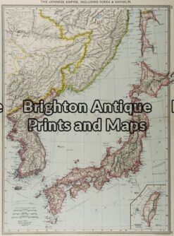
2-119 - Asia - Japan G Philip - circa 1905 Chromolithograph 35cm X 48cm Condition A+

Antique Map 2-119 – Asia – Japan G Philip – circa 1905 Chromolithograph 35cm X 48cm Condition A+

$130.00
© 2026 BRIGHTON ANTIQUE PRINTS AND MAPS. ALL RIGHTS RESERVED | Website by Blaze Online Credit Card
Visa
PayPal
Stripe
MasterCard
Cash On Delivery
  • Home
  • Catalogue
    • Antique Maps
    • Antique Prints
    • Books & Gov’t Reports
    • Manuscript Documents
  • Recent Arrivals
  • About
  • FAQ
  • Register Interests
  • Contact Us
  • View Cart

Sending...