CURRENCY
Asia by Ortelius &;c.1588
Copperplate engraving with hand colour 50cm X 35cm Condition A+
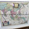
Antique Map 232-412 Asia by Cruchley c.1834
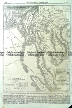
Antique map – Telegraph to Canton and Hong Kong c.1860 Ref#232-724
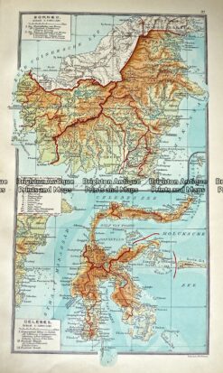
Antique Map 233-351 Indonesia – Borneo and Celebes by Wolters c.1929
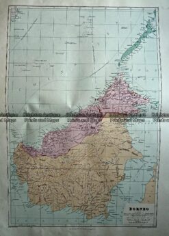
Antique Map 233-330 Borneo by Stanford c.1887