CURRENCY
$290.00
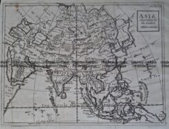
Asia – Tibet and Mongolia
J Tallis – circa 1851 Steel engraving Condition A+
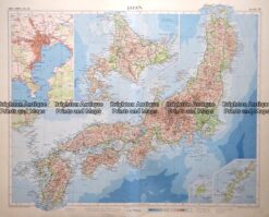
Antique map – Japan from Times Atlas c.1958 Ref: 415-012
Antique Map 233-283 Japan – Hokkaido c.1960’s
Antique Map 236-083 Grande Tartarie et Isles du Japon Suivant . . . c.1790
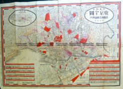
Antique Map 2-146 Japan – Tokyo street map c.1911