CURRENCY
$290.00
Asia – Independent Tartary
J Tallis – circa 1851 Steel engraving Condition A+
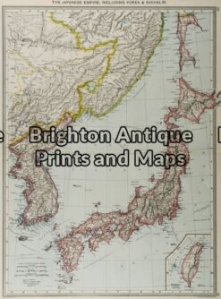
Antique Map 2-119 – Asia – Japan G Philip – circa 1905 Chromolithograph 35cm X 48cm Condition A+
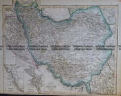
Antique Map 236-089 Specialkarte von Persian by Grassl c.1855
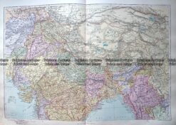
Antique Map 233-321 Central Asia and North India by Stanford c.1887
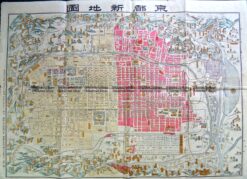
Antique Map 2-143 Kyoto street map c.1900