CURRENCY
$50.00
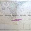
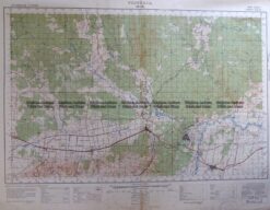
Navigation Chart of Victoria coast
Lithograph
Condition A
There are no reviews yet.
You must be logged in to post a comment.
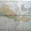
Antique Map 14-201 – Victoria or Port Phillip John Tallis – circa 1851 Steel engraving 33cm X 26cm Condition A+
Antique Print Antique Map 233-236 Gold Mines in Victoria – Ballarat and Bendigo c.1880’s
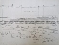
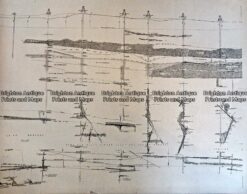
Antique Print Antique Map 233-232 Gold Mines in Victoria – Cross-section detail c.1880’s
Antique Map 3-303 Victoria – Moe area c.1940


Reviews
There are no reviews yet.