CURRENCY
Street map of Sydney c.1880 Published by Gordon and Gotch
Lithograph 29cm X 36cm Condition A
There are no reviews yet.
You must be logged in to post a comment.
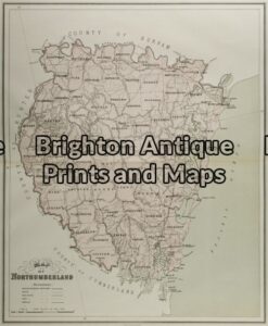
Antique Map 9-067 – New South Wales Northumberland J Sands – circa 1886 Chromolithograph 42cm X 53cm Condition A+
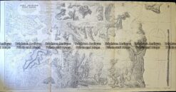
Antique Map 232-106 Navigation Charts corrected to 1940’s
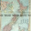
Antique Print Antique Map 230-530
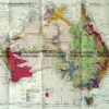
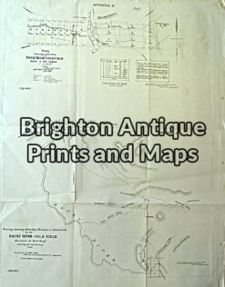
Antique Map 230-818 Gold Field map of Rocky River c.1860


Reviews
There are no reviews yet.