CURRENCY
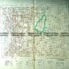
Yarra Valley and North East Hill Country Road Map c.1970
77cm X 50cm Condition A
There are no reviews yet.
You must be logged in to post a comment.
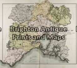
Antique Map 233-450 Victoria – County of Normanby by Bailliere c.1866
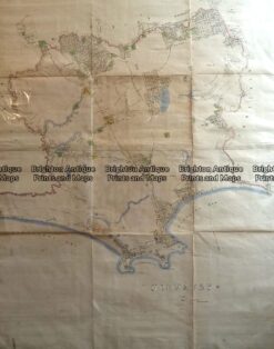
Antique Map 14-216 – Victoria – Port Phillip and vicinity John Sands – circa 1886 Chromolithograph 52cm X 42cm Condition A+
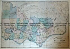
Antique Map – Map of Victoria by Hiscock c.1874 Ref No. 238-003
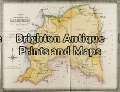
Antique Map 14-221 – Victoria – County of Dalhousie F E Hiscock – circa 1874 Hand coloured lithograph 52cm X 40cm Condition A+


Reviews
There are no reviews yet.