CURRENCY
$75.00
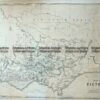
Map of the Grampian Ranges by Dept of Lands and Survey c.1971
49cm X 68 Condition A
There are no reviews yet.
You must be logged in to post a comment.
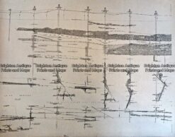
Antique Print Antique Map 233-232 Gold Mines in Victoria – Cross-section detail c.1880’s
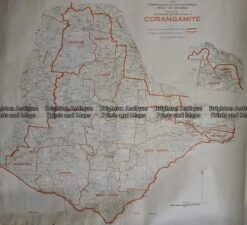
Antique Map 236-036 Corangamite – Commonwealth Electoral Division c.1977
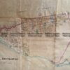
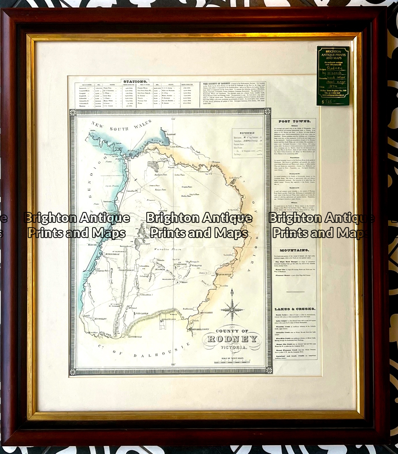
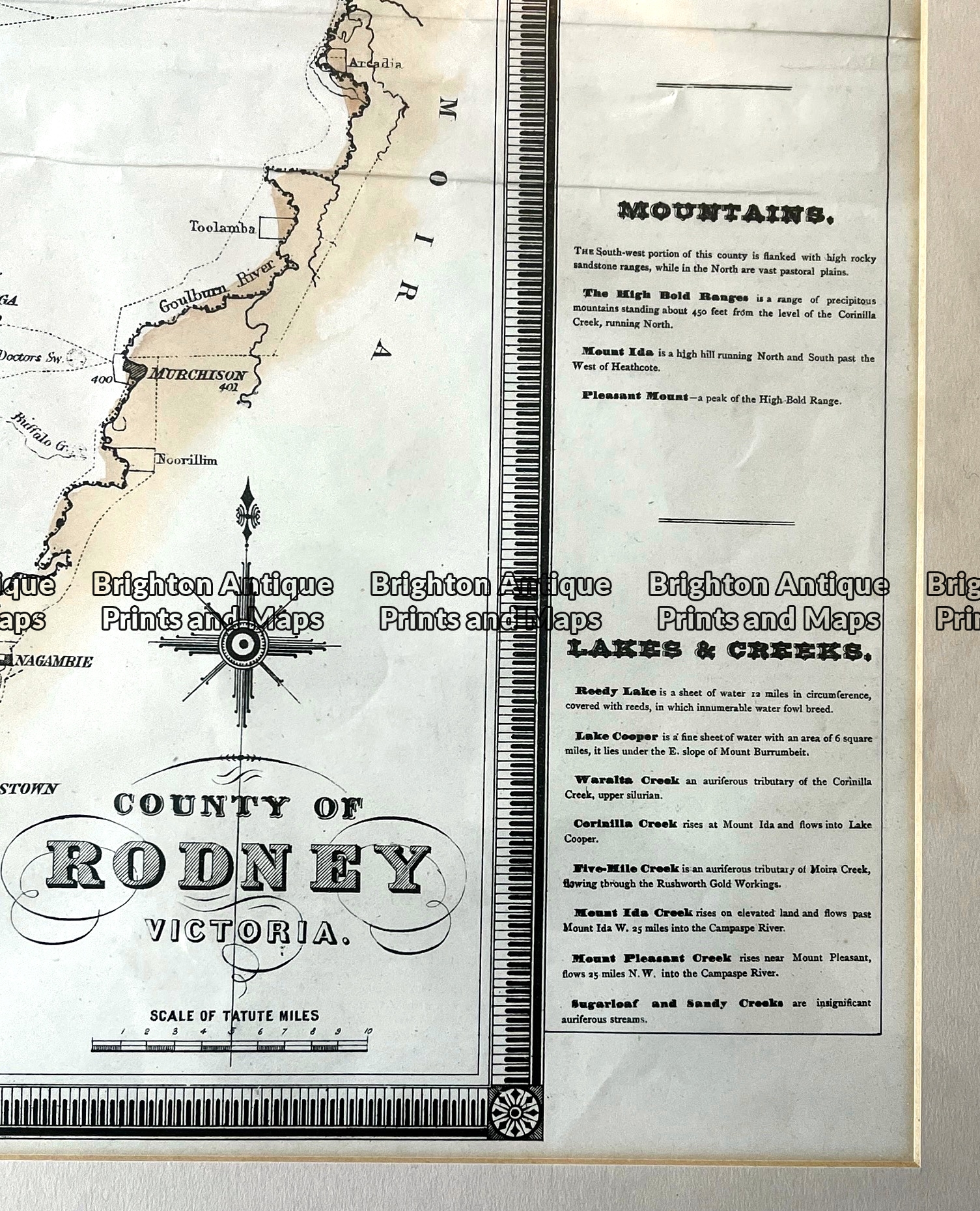
Antique map – County of Rodney by Hiscock c.1874 Ref: 789-016
Antique Map 14-217 – Victoria – County of Tanjil John Sands – circa 1886 Chromolithograph 52cm X 42cm Condition A+


Reviews
There are no reviews yet.