CURRENCY
$50.00
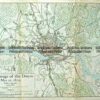
Portugal and Oporto area in 1809, published c.1910
Chromolithograph 26cm X 35cm Condition A
There are no reviews yet.
You must be logged in to post a comment.
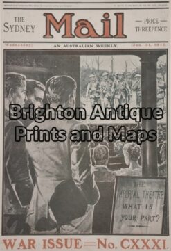
Antique Print 33-026 – Military – Australian World War I Anon – circa 1917 Chromolithograph 23cm X 34cm Condition A+
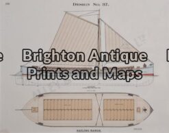
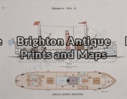
Antique Print 33-017 – Maritime achitecture Alley & McLellan – circa 1914 Chromolithograph 26cm X 20cm Condition A+
Antique Print 33-016 – Maritime Architecture Alley & McLellan – circa 1914 Chromolithograph 26cm X 20cm Condition A+
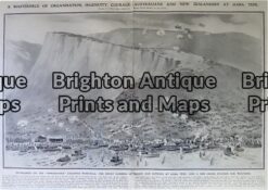
Antique Print 33-031 ANZAC – Gallipoli – Landing at Gaba Tepe in 1915


Reviews
There are no reviews yet.