CURRENCY
Tasmania
J Sands – circa 188621cm X 28cmChromolithographCondition A+
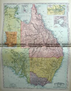
Antique Map 233-225 Australia – Victoria, NSW, Queensland by Rand McNally c.1894
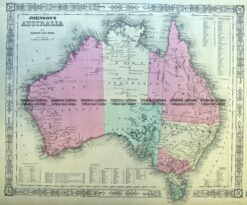
Antique Map 3-987 Australia by Johnson & Ward c.1859
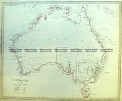
Antique Map 3-871 Australia by S.D.U.K c.1844
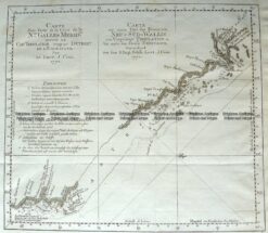
Antique Map 3-001 – Australia – Carte dune Partie de la Cote de la N le. Galles East coast of Australia from Cooks 1st voyage Bernard – circa 1774 Copperplate engraving 34cm X 29cm Condition A+