CURRENCY
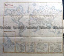
World by Henry Teesdale c.1847 engraved by j. Dower
Hand coloured steel engraving 41cm X 34cm Condition A+
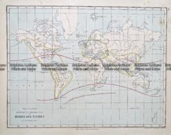
Antique Map 233-392 World – showing distribution of birds and fishes by Weller c.1874
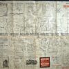
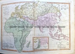
Antique Map 230-239 World on Mercator projection by S. Hall c.1850
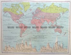
Antique Map 3-390 World – Distribution of Animals
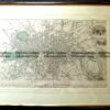
Antique Map 2-163 World in ancient times by Wilkinson c.1830