CURRENCY
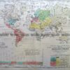
World – Hydrology by Johnston c.1851
Chromolithograph 31cm X 24cm Condition A+
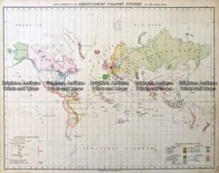
Antique Map – Christlichen Staaten Systems by Flemming c.1855 Ref: 237-157
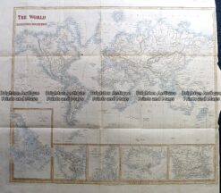
Antique Map 230-239 World on Mercator projection by S. Hall c.1850
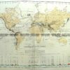
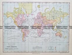
Antique Map 233-393 World – showing Ocean currents by Weller c.1874
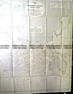
Antique Print Antique Map 230-602 Australia and Asia – Indian Ocean shipping routes c.1950