CURRENCY
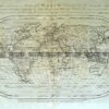
South Pole by Del&’;Isle / Ottens &;c.1714/1740
Copperplate with hand colour 60cm X 46cm Condition A
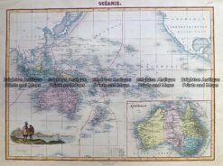
Antique Map 230-531 Oceanie by Migeon c.1878
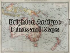
Antique Map 3-003 – Australia: Industries & Communications George Philip – circa 1905 Chromolithograph 48cm X 35cm Condition A+
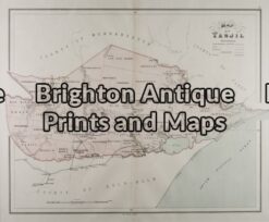
Antique Map 3-205 – Victoria – County of Tanjil John Sands – circa 1886 Chromolithograh Condition A+
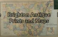
Antique Map 3-070 – New South Wales Picturesque Atlas – circa 1886 Chromolithograph 62cm X 38cm Condition A+