CURRENCY
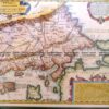
South Pole by Del&’;Isle / Ottens &;c.1714/1740
Copperplate with hand colour 60cm X 46cm Condition A
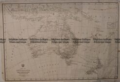
Antique Map 230-539 Australia by Migeon c.1865
Antique Map 3-218 – Victoria – Counties of Moira, Delatite, Bogong & Wonnangatta John Sands – circa 1886 Chromolithograph 52cm X 42cm Condition A+
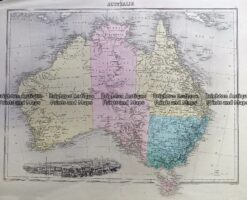
Antique Map 236-037 Australia – railway systems & Telegraph lines c.1942
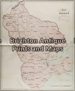
Antique Map 3-215 – Victoria – County of Grant John Sands – circa 1886 Chromolithograph 43cm X 53cm Condition A+